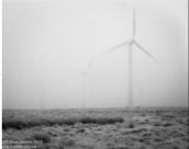

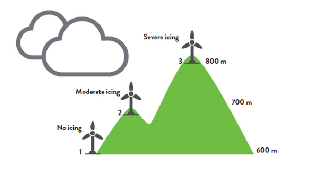
IN-CLOUD ICING
- Turbines are shrouded in the clouds
- Most common type of icing
- Most severe in elevated locations
In-cloud icing occurs when super-cooled water droplets in the cloud come in contact with a surface (wind turbine blade) and freeze on impact. Not only is in-cloud icing the most common type of icing, it also has the most significant impact with pro-longed events lasting over 24 hours, and significant ice accumulation is possible. In-cloud icing is dependent on the height of the cloud base. As shown in the drawing above, it is possible to have some turbines impacted and others not impacted during the same event. In-cloud icing is the most complex type of icing because it can result in three types of ice accumulation.
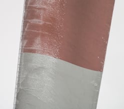
- Glaze
- Hard rime
- Soft rime
In the first category, in-cloud and precipitation-based icing can occur at the same time resulting in a heavy glaze ice accumulation. The most impactful and most likely to lead to a turbine shut-down. In the case of hard or soft rime icing, accumulation is dependent on the water droplet size, wind speed and atmospheric moisture content. Forecasts for in-cloud icing are challenging and typically come from private sources.
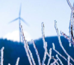
FREEZING FOG/MIST
- Usually results in light ice accumulation
- Often not well forecasted
- Prolonged events can occur
As with in-cloud icing, accumulation of ice occurs in freezing fog or mist when super-cooled, tiny water droplets come in contact with a turbine blade that has a surface temperature below freezing. This form of icing can occur with air temperatures well below freezing. It can also occur when air temperatures are above freezing but the blade surface is below freezing.
Icing from freezing fog and mist results in a soft rime accumulation which has the lowest density of the ice types and often has a frosty appearance. This type of icing is more common in the central and northeast United States in the mid to late winter. One common scenario when freezing fog occurs is when an arctic cold front with shallow, dense air undercuts a warmer, moist airmass in place causing lift, clouds and in some cases, even freezing mist/fog. Another example would be when a warmer, moist airmass is transported into a region with snow cover. In this case, cooling occurs and the airmass becomes saturated and fog develops. At that point the tiny water droplets of fog can freeze onto the cold, surrounding surfaces.